Egypt Deploys Satellite Technology To Monitor Waterways, Detect Illegal Structures
Egypt’s Ministry of Water Resources and Irrigation is expanding the use of satellite imagery and remote sensing technology to monitor waterways, detect illegal construction and identify changes along canals and other water bodies.
The initiative is aimed at strengthening water management, improving the detection of encroachments and enabling authorities to respond more efficiently to potential violations.
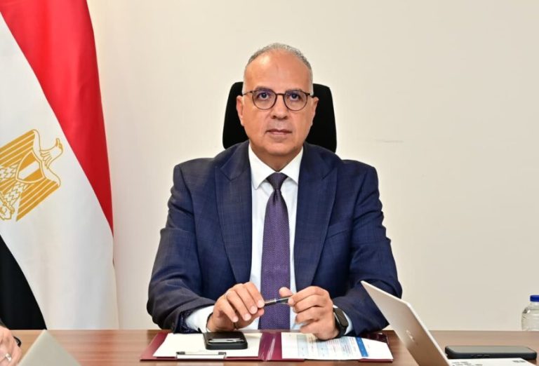
According to a ministry statement issued on Saturday, October 24, Minister of Water Resources and Irrigation, Hani Sewilam, reviewed a monitoring model developed by the ministry using Google Earth Engine, a platform that processes and analyses satellite imagery to identify changes in geographical features.
The system is designed to detect newly constructed buildings along waterways, as well as other developments that could affect the flow and management of water resources.
During the review, Sewilam emphasised the importance of satellite imagery in improving waterway surveillance and providing reliable information to support planning and decision-making.
He noted that the technology could enhance the ministry’s ability to monitor changes across water infrastructure and identify potential violations more promptly.
The ministry also considered plans to develop geospatial databases to document encroachments and changes along waterways. The databases are expected to provide field teams with more precise information on the locations of suspected violations, thereby improving inspection and enforcement activities.
Sewilam directed relevant officials to integrate satellite observations with field measurements and existing ministry databases. He also called for the incorporation of artificial intelligence (AI) and geographic information systems (GIS) to strengthen data analysis, monitoring and water management planning.
The initiative is part of the ministry’s Water System 2.0 programme, which seeks to modernise Egypt’s water management operations through digital technologies, improved monitoring systems and data-driven decision-making.
The adoption of these technologies comes as Egypt faces increasing pressure on its freshwater resources, with the Nile River serving as the country’s primary source of freshwater.
To address these challenges, the ministry has continued efforts to modernise irrigation infrastructure, improve water distribution and strengthen the monitoring and maintenance of canals.
However, the ministry did not disclose when the satellite-based monitoring model would be deployed more widely across the country’s waterways or the number of violations identified through the system so far.
The initiative is expected to strengthen the use of digital tools in safeguarding waterways and supporting more efficient management of Egypt’s limited water resources.